
ALAMEDA COUNTY· INFORMATION TECHNOLOGY DEPARTMENT
Geographic Information Systems
Enterprise GIS Resources and Support for Alameda County Departments and its Residents
ITD-GIS delivers enterprise GIS capabilities and shared geospatial data services to Alameda County departments, supporting their day-to-day operations and their service to county residents. Our work includes provisioning and managing GIS software, coordinating inter-departmental data flows, and maintaining centralized data resources such as the County’s Open Data Hub. We also provide training on GIS tools, develop custom GIS applications, and offer spatial analysis services.
Featured Apps
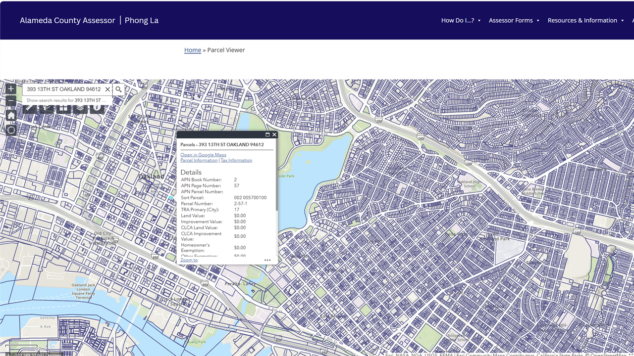
Assessor
Featured Apps
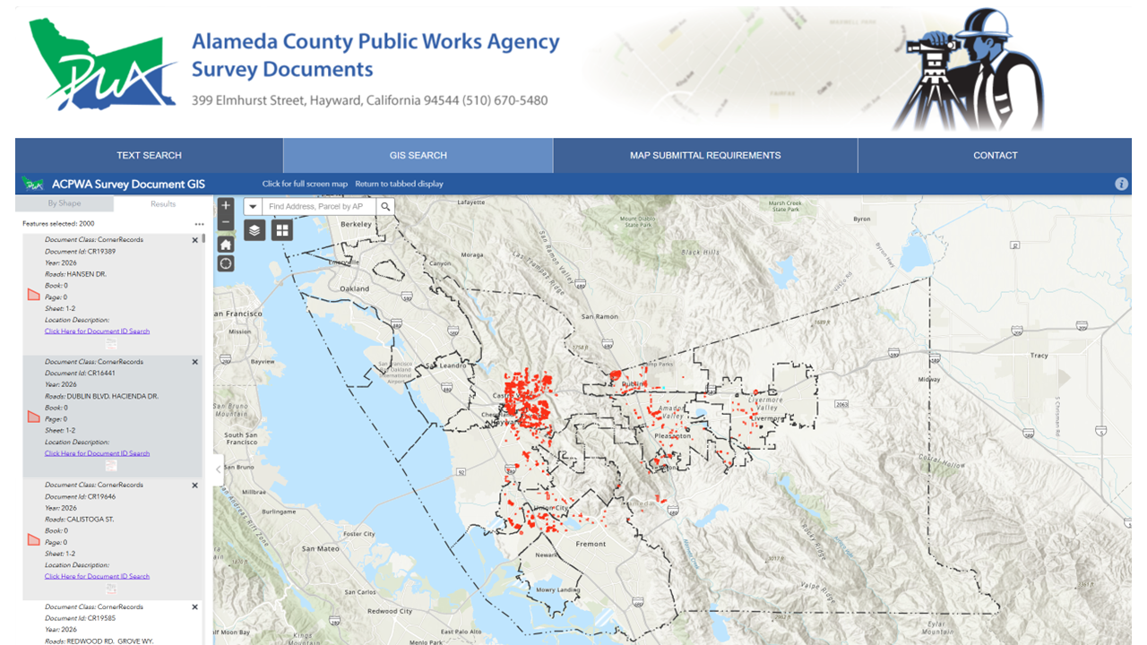
Surveyor
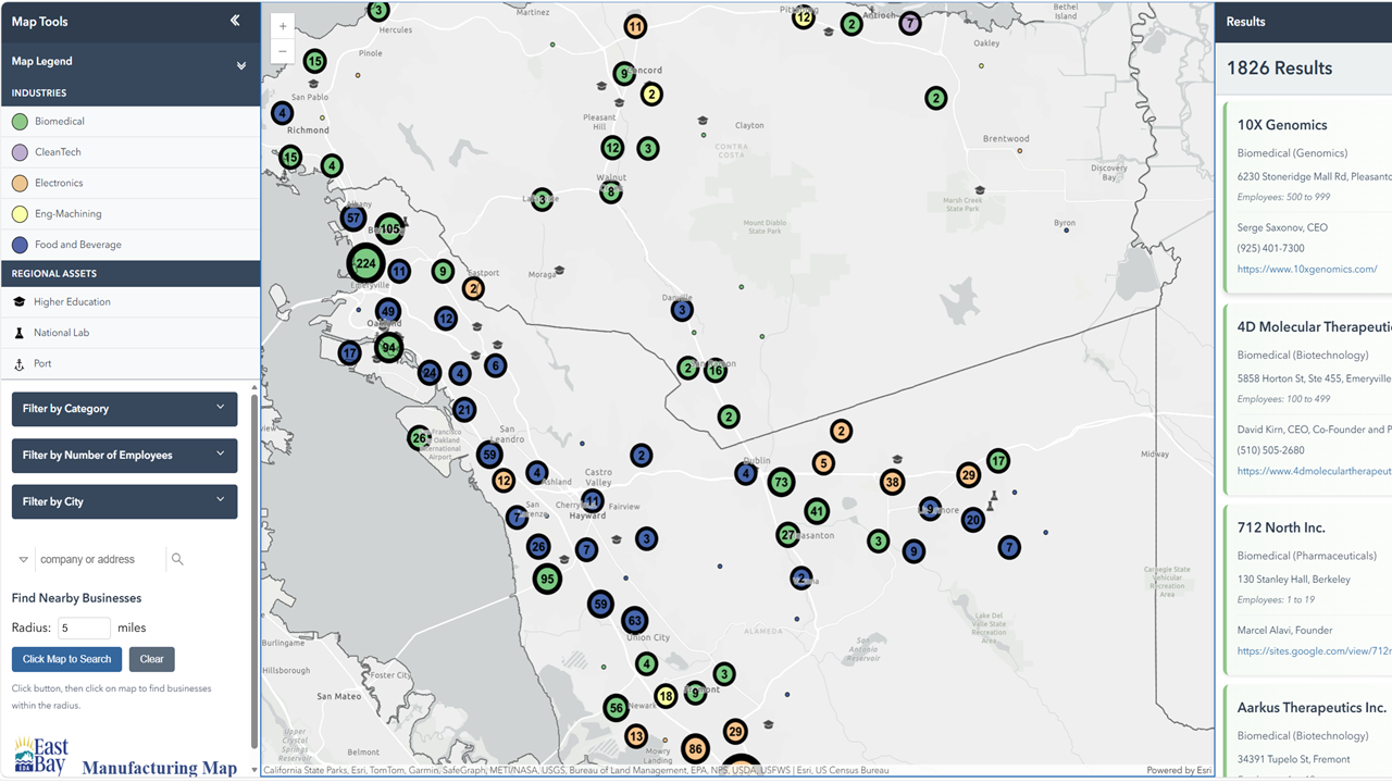
Economic Development Alliance
ITD-GIS Awards
2023 NACo Achievement Awards
Project: Small Business ARPA Grants Management Using Survey123
Category: Community and Economic Development
Awarding Organization: National Association of Counties (NACo)
2021 Government Experience Awards
Project: GIS DDE (Develop, Deploy, and Empower)
Category: Government Experience Project Awards
Awarding Organization: Center for Digital Government
2021 PTI Solutions Awards
Project: COVID-19 Dashboard
Awarding Organization: Public Technology Institute (PTI)
2021 PTI Solutions Awards
Project: COVID-19 Resources Map
Awarding Organization: Public Technology Institute (PTI)
2021 PTI Solutions Awards
Project: Open Data Hub GIS Layers and Tables
Awarding Organization: Public Technology Institute (PTI)
2019 NACo Achievement Awards
Project: Alameda County Probation Department’s Public Data Program
Category: Civic Education and Public Information
Awarding Organization: National Association of Counties (NACo)
2018 NACo Achievement Awards
Project: Road Closures Tool
Awarding Organization: National Association of Counties (NACo)
2017 PTI Solutions Awards
Project: Election Results Viewer (Voting App)
Awarding Organization: Public Technology Institute (PTI)